NEW BRUNSWICK – Vancouver’s
Callinex Mines has completed a 450-line-km magnetic survey using a drone at its Nash Creek zinc-lead property 20 km west of Belledune, in the Bathurst mining camp. The survey was flown to help identify and delineate the near vertical faults at the site.
[caption id="attachment_1003722622" align="alignleft" width="300"]
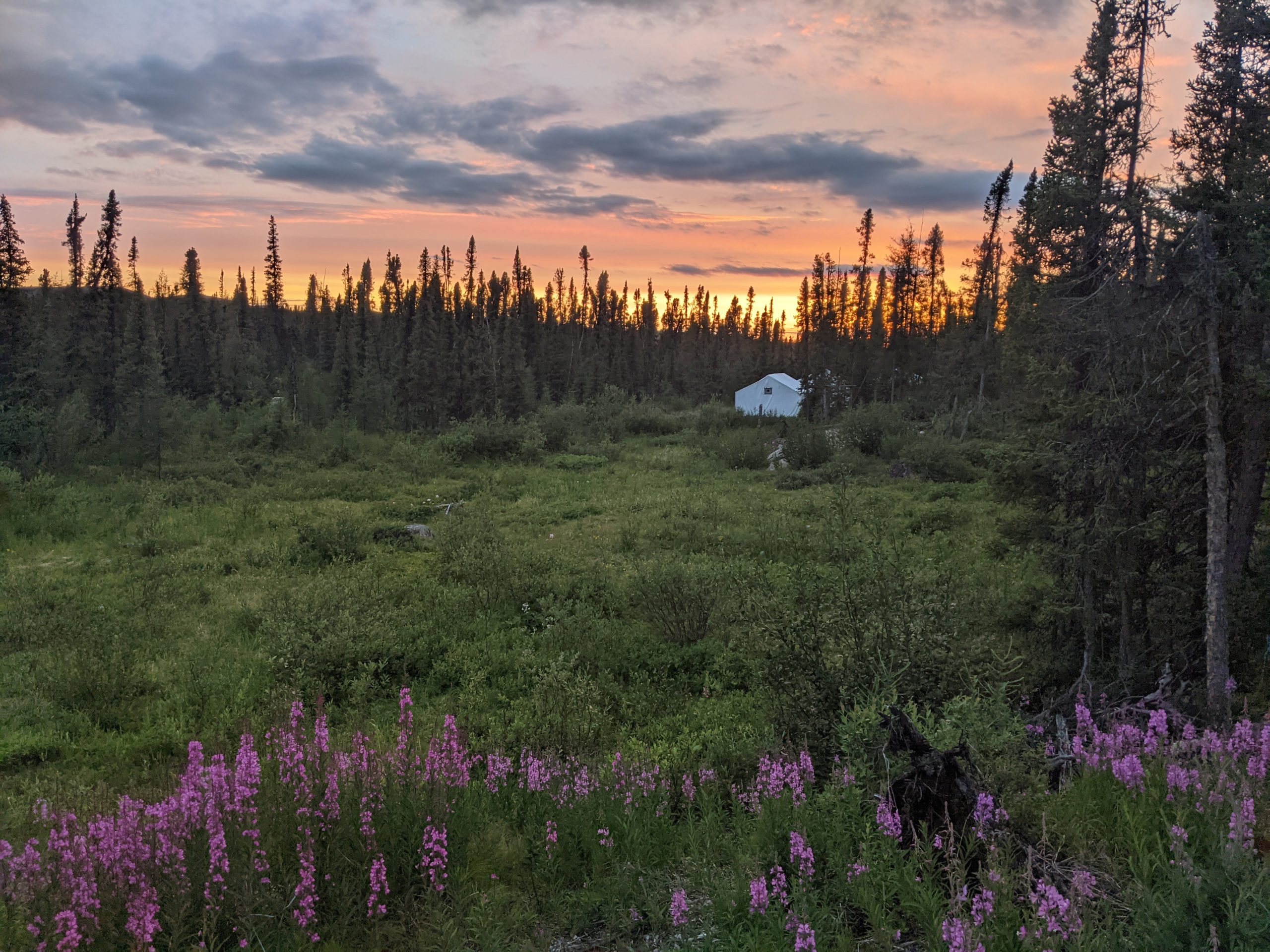
 The road to Nash Creek is nearing the development stage. (Image: Callinex Mines)
[/caption]
The Nash creek project covers several high grade zinc occurrences along a 20-km-long trend within the same geological setting as the historic Nash Creek deposit. The area has been subjected to little exploration activity. Callinex points to the Big Hole Brook prospect where historical trenching exposed at least eight, quartz-ankerite veins that assayed as high a 12.9% lead and 8.1% zinc as an example of the under-explored area.
Besides the drone magnetic survey, Callinex plans to conduct LIDAR and induced polarization surveys as well as conventional prospecting and soil sampling to identify new drilling targets.
The 2016 resource estimate for Nash Creek included two zones using a cut-off of 2% zinc equivalent. The Hickey zone contains 3.2 million indicated tonnes grading 2.38% zinc and 0.53% lead plus an inferred resource of 177,000 tonnes at 2.24% zinc and 0.68% lead. The Hayes zone has an indicated resource of 5.9 million tonnes grading 3.01% zinc and 0.59% lead as well as an inferred resource of 936,000 tonnes at 2.95% zinc and 0.55% lead.
More information is available at
www.Callinex.ca.

 The road to Nash Creek is nearing the development stage. (Image: Callinex Mines)[/caption]
The Nash creek project covers several high grade zinc occurrences along a 20-km-long trend within the same geological setting as the historic Nash Creek deposit. The area has been subjected to little exploration activity. Callinex points to the Big Hole Brook prospect where historical trenching exposed at least eight, quartz-ankerite veins that assayed as high a 12.9% lead and 8.1% zinc as an example of the under-explored area.
Besides the drone magnetic survey, Callinex plans to conduct LIDAR and induced polarization surveys as well as conventional prospecting and soil sampling to identify new drilling targets.
The 2016 resource estimate for Nash Creek included two zones using a cut-off of 2% zinc equivalent. The Hickey zone contains 3.2 million indicated tonnes grading 2.38% zinc and 0.53% lead plus an inferred resource of 177,000 tonnes at 2.24% zinc and 0.68% lead. The Hayes zone has an indicated resource of 5.9 million tonnes grading 3.01% zinc and 0.59% lead as well as an inferred resource of 936,000 tonnes at 2.95% zinc and 0.55% lead.
More information is available at


Comments