The mining industry is in constant need of replacing what it produces through making new discoveries. One way of aiding this quest entails embracing new technologies to enhance miners’ discovery chances. To learn more about one such offering from SRK, The Northern Miner’s western editor Henry Lazenby spoke with Findlay Fraser, a principal consultant on structural geology and Andrew LeRiche, a senior rock mechanics engineer, about the HiveMap platform.
Fraser has over 15 years of experience in structural geology and geological modelling, specializing as an expert implicit modeller and instructor. He’s provided technical outputs for geotechnical, resource, hydrogeological and geochemical studies throughout full project lifecycles.
LeRiche is a geotechnical engineer who has worked on a range of projects in mining and metals, natural hazards and energy sectors. His field experience spans geotechnical core logging, LiDAR scanning, geohazard and site inspections, instrument installations and permafrost characterization.
Henry Lazenby: What is HiveMap?
Andrew LeRiche: The basic description of HiveMap is it's a suite of geological mapping software, both tablet and desktop based. We took a conscious decision with that, wanting people to be in the field, mapping on their tablets, being at the face, seeing those important geological observations, while also having the flexibility to take that work back to the office.
HL: Where can HiveMap be used?
AL: HiveMap can be used in a broad range of application in the industry, whether that's operations, underground, open-pit, early-stage exploration, whether that's regional, prospectivity work, deposit, or scale work. But we also see applicability in the civil engineering side. Really, anywhere you have rock exposure that you want to map is really what it is.
HL: What's the philosophy and design principles behind this product?
Findlay Fraser: HiveMap was born out of an awareness of the changing nature of the mining industry. We were in a situation where we had both evolving expectations on what we could do and the tools that were available to us. At the core of any good geological study is observations of the rock. Working across multiple deposit sites and environments, we were struggling to bring together all the data types and observations in one easy, usable space and consume all these new types of data.
HL: What are some of the key benefits that HiveMap brings to the table?
AL: The starting point is it allows you to capture those geological observations in a very efficient way. And in many cases, it leverages data sets that are oftentimes already being collected on a mine site, whether that's a survey group, or a tech services group collecting data for other reasons.
And probably one of the bigger things, we work with quite a range of clients, and as a result of that, we took a decision that all the outputs from the software would be very flexible and open, not tied to any sort of downstream modelling analysis packages, which really allows the user to do what they want with it once they're done with that primary mapping work in HiveMap.
HL: How do you see HiveMap helping mining companies improve their exploration work?
FF: The easy example that I always come back to in the production environment is grade control. The kind of questions that you're trying to answer are: Where's the contact of my ore body? What are the metallurgical properties? And yeah, that varies, obviously, depending on commodity.
I can go into the pit and capture observations quickly. Where the type of work that I did years ago for mapping was for example a three-day exercise, with HiveMap we’re able to do in three or four hours.
HL: What information does HiveMap work with?
AL: The starting point is anything that is meshed. Whether that's collected from LiDAR, photogrammetry, whether that's terrestrial or drone based, once that's meshed, it can be brought into HiveMap. From there, you can overlay imagery, geophysics–whatever it is that you want to be visualising–on top of that meshed interface as well. You can bring in drill hole information to help validate the work.
Today, many phones and tablets have LIDAR sensors built into them. So particularly in the underground environment, people are using those to collect that primary data, what they're seeing at the face, and efficiently transferring it into HiveMap and do the mapping in near real time, underground.
HL: So, I suppose HiveMap can also play a role in ensuring improved safety and access concerns?
AL: Yeah, that's a big one. And you know, you've seen the evolution of the industry over some time now, where there is that aversion to risk and that consciousness about what people are being exposed to at the mine site. And because of that, in many cases, being able to conventionally map, getting up to the face with your compass to collect those observations is becoming a little bit more prohibitive from a risk standpoint.
With HiveMap, having it on the tablet, having it on your desktop, whatever you prefer, you can take that step back, you could still be at the working face, but not be exposed to those risks, as you conventionally would be.
HL: Do you have any case studies to share?
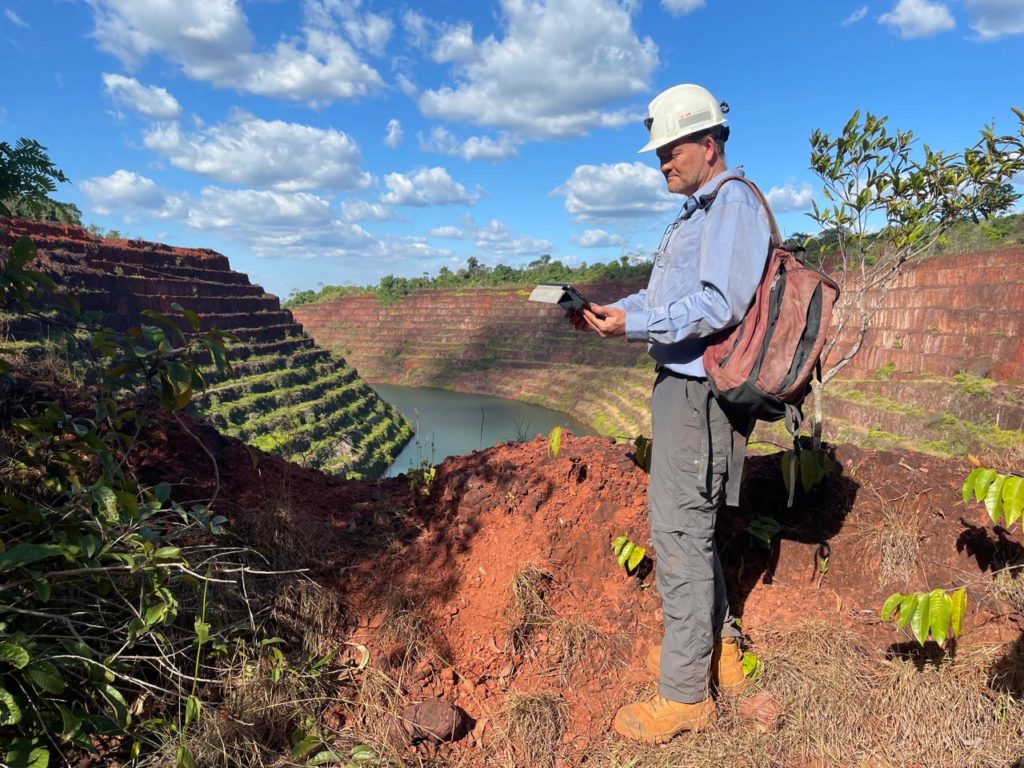
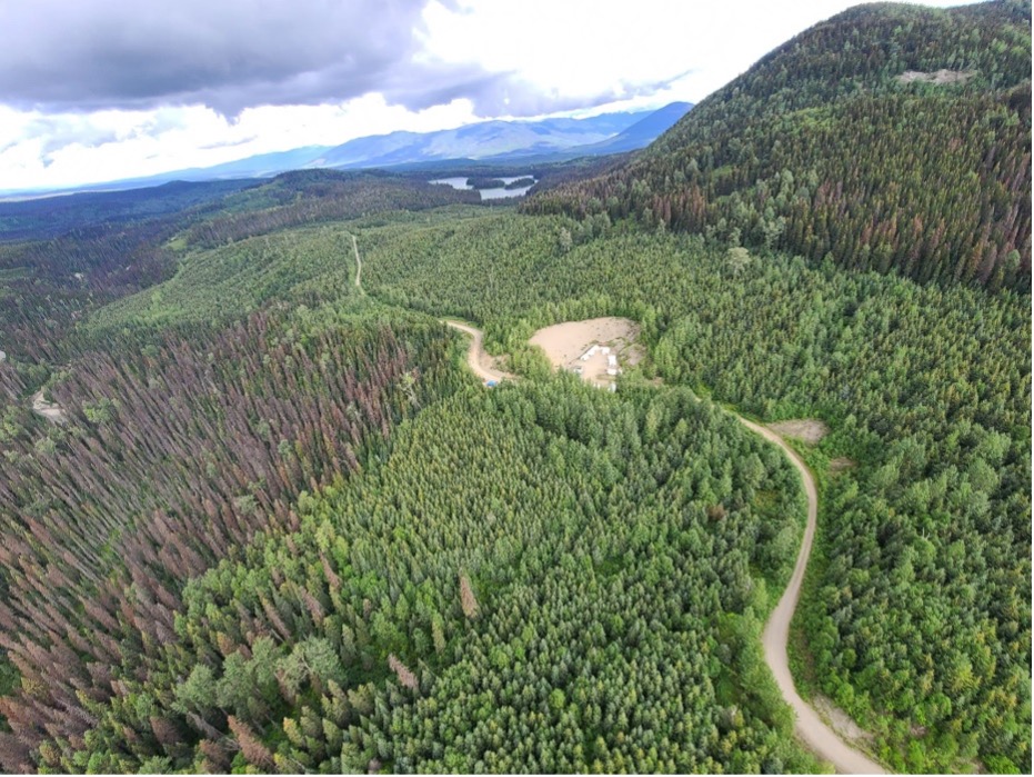
FF: We’ve used HiveMap on the Goliath project, owned by Goliath Resources (TSXV: GOT; US-OTC: GOTRF), in northern British Columbia. It's a relatively early-stage exploration project and the topography is quite extreme. You’ve got a very rugged plateau framed by inaccessible high cliffs.
They could see the mineralized outcrop at the top interacting and folding with the other lithologies on the cliffs, but they couldn't map it, because it's inaccessible. So, we brought in a drone provider to capture in detail the exposure in the cliff using photogrammetry that was processed. Then the entire cliff face was structurally mapped, giving us a near cross-section view of the conceptual deposit.
HL: What does HiveMap bring to the table over competing tools?
FF: Mapping is fundamental to everything. Aside from the functionality we’ve already discussed, we looked at bringing high accuracy. The expectations within the mining industry are changing very rapidly. So, if you go back 10 to 15 years, being able to have a few measurements that were positioned down to within a few metres was pretty good. Now, we’re able to position them down to the centimetre-scale accurately.
HL: To whom is HiveMap available to?
AL: HiveMap is available to any interested companies that conventionally do geological mapping. But it's also available for free to academics. We acknowledge a lot of the great work that has driven HiveMap development or other technological developments in mining comes through academics. And so, we want to empower them, give them the option to use the software and work with us to make it as powerful as it can be.
HL: And then looking into the future, what are some of the key development areas for HiveMap? What's next?
FF: We're coming up to the end of our second big development cycle. We've got some really big things coming up. The tablet versions of HiveMap are going to be available for Apple, Android and Microsoft hardware within the next couple of months, so we're going to have that seamless integration from the field all the way into the office.
We've got work that we're doing to improve the flexibility. We're building out a template editor to make it much easier for users to be in control of like their own codes and implement exactly what they want in the software. And we have also just put the 146-page updated manual on the website.
Watch below the full interview:
https://vimeo.com/1053115735
The preceding Joint Venture Article is PROMOTED CONTENT sponsored by SRK and produced in co-operation with The Northern Miner. Visit: srk.com for more information.

Comments