Emesent introduces EHovermap ST-X to extend the reach of autonomous LiDAR mapping


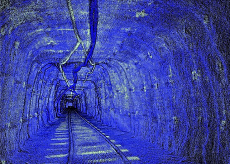
Emesent has extended the reach of autonomous LiDAR mapping with the Hovermap ST-X. Users capture more in less time and they enjoy autonomous data capture that provides accurate LiDAR scans for stope mapping, convergence monitoring, or post-blast scans.
Hovermap ST-X incorporates the latest in LiDAR sensing technology to offer high-density point clouds with increased coverage. Featuring a sensing range of 300 meters and more than a million points per second, it captures detailed, accurate data over a greater area in less time - giving you faster time to insight.
Hovermap ST-X live streams the point cloud to the user’s control tablet, allowing a real-time preview of the data as it is captured. The addition of Emesent’s long-range radio accessory (optional) enables live streaming and device control up to 20 times further, allowing the user to see real-time data and set smart waypoints for guided exploration from even further away.
Advanced autonomy and 360° collision avoidance enables flight and mapping in challenging surroundings, including beyond visual line of sight and communication range, even in GPS-denied environments. This provides new, valuable insights while the operator remains in a safe location.
Emesent makes the Hovermap ST-X tough, weather sealed, and resistant to dust splashes, making it ideal for use in dusty or otherwise harsh environments. The basic capability can be extended with the accessory port and mount points, added long-range radio, colorization hardware, or an inspection camera.
Learn more or watch the video at the Emesent website.
Comments
Tewelidebirihan Tikue
I am vey much interested on hovermap ST-X LiDAR.
How can i order to purchase from my country Ethiopia?