Looking Down on New Business
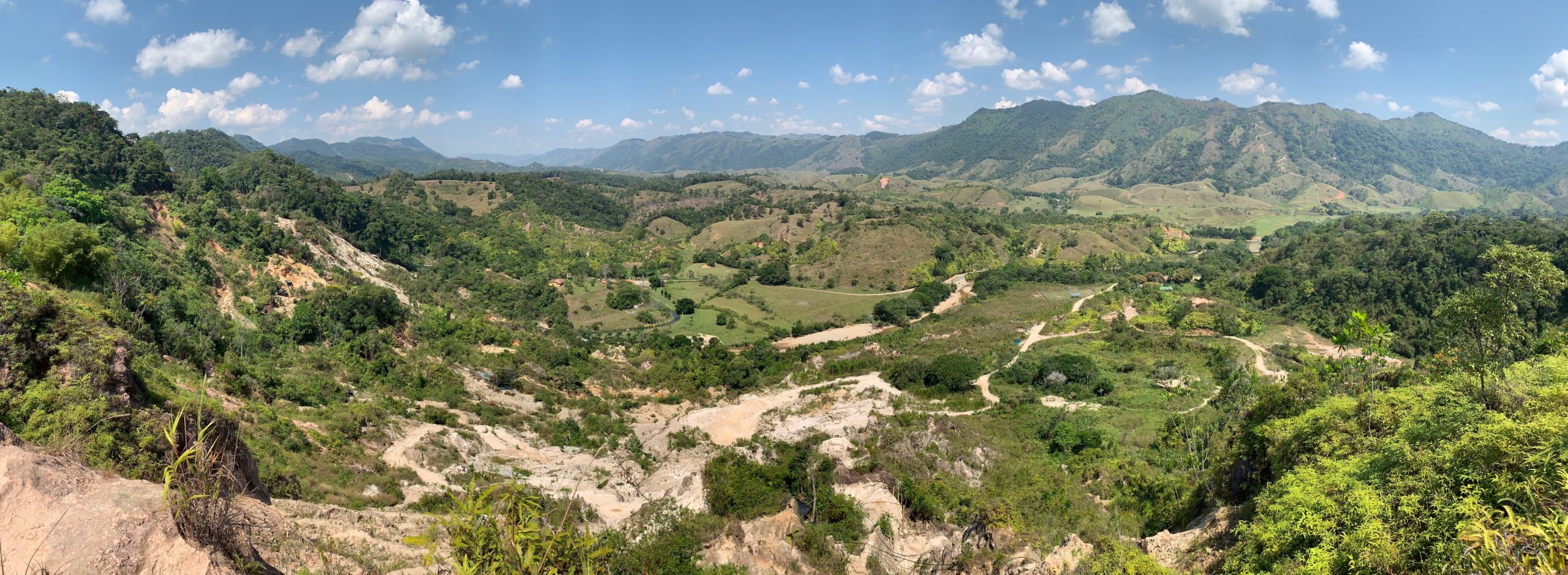
KBM Resources Group of Thunder Bay did not start out as a company serving the mining industry but, was in fact created as a firm to provide digital aerial photography and GIS mapping for the forest industry.
Since its inception in 1973, however, the company has grown beyond the forest industry and now extends its aerial services to include mining and exploration companies working in Northern Ontario.
Over the years the company has naturally kept pace with the latest in technology, but as one of its partners, Peter Higgelke, says, KBM is not necessarily technologically driven but, is a team of “practical innovators looking for ways to help our clients operate more efficiently.”
So how does a forest industry company turn its digital aerial photography and GIS mapping services from trees to finding minerals for the mining industry?
Well actually, the jump was not as big as one would think. According to Higgelke, it basically came down to KBM’s core philosophy: to provide clients with the services they need, when they need them.
Company partner Laird Van Damme said, “We started doing forest inventories and related services simply because our clients needed them. The most efficient way to complete those assessments was to use aerial photography. So, we bought an airplane…”
Over the years the firm has undertaken numerous forest inventories, specialized field studies and environmental impact assessments in support of forest/land use plans. These inventories, studies and assessments relied heavily upon data acquired with remote sensing technology (aerial photography and satellite imagery) organized in a Geographic Information System (GIS).
Although the technology was developed while operating within forestry, it also has applications in other industries, like mining. Aerial photography is used in the mining sector at many stages in the development sequence, including exploration and environmental assessment. Maps can also be generated to create digital elevation models of pit and stockpile features during active mining and to help monitor mine closure progress.
The company’s expertise (and the technology that fuelled it) grew from mapping and basic analytical techniques to advanced modelling. As Sales Manager Andrew Kane says, it’s like they looked up from their desk one day and found that they had a unique skill set.
“We realized that we were offering a level of service that nobody else was offering,” Kane said.
KBM recently expanded its aircraft and digital photography capacity by acquiring a twin-engine Piper Seneca II and a system of hardware and software that can process terabytes of data acquired during each flight mission. These data can be used to generate images and map products within several days.
“Not only can we get the data (aerial photographs) faster and more economically than many other companies, we also provide advanced data analysis and things like ortho-rectified mosaics that can be used for exploration, environmental assessments, and planning,” said Kane.
With the system, KBM can acquire images with up to 8 cm resolution providing sub-metre horizontal and vertical accuracies, allowing extremely accurate computer mapping even before ground surveying begins.
Currently the company is in the process of evaluating new sensors like colour infrared and Light Detection and Ranging (LiDAR), which is widely used for digital elevation and terrain mapping in the mining sector.
One of the company’s greater assets, however, is its “good old-fashioned” local knowledge of the social, economic and environmental context of Northern Ontario. In addition to a staff of professionals with advanced degrees in natural science programs, the firm maintains a large network of interdisciplinary professionals.
“Local knowledge is a benefit to our clients from every angle,” said Van Damme. “It means everything including knowing the best times to fly to get the data, knowing who to go to for certain assessments and understanding the assessment and permitting process from the governmental agency point of view. Ultimately it means faster data and data analysis at lower costs to our clients.”
Data acquired from KBM’s aircraft can be used to create value added products in planning, permitting and environmental assessment support phases of a development. These data can be combined with other data to produce thematic maps. The company also builds novel decision support systems in a GIS environment to harness expert knowledge of various ecological systems (e.g. water yield, biodiversity, carbon pools) with current and expected conditions associated with planned developments. These assessments and maps are used in open houses, newsletters and plans to inform shareholders, stakeholders and the public at large about proposed development activities.
Aerial photography may have started with forestry for KBM Resources but it certainly looks like it will be focussing on mining in the future too.


Comments