[caption id="attachment_1003721181" align="aligncenter" width="475"]
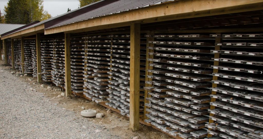
 The PDAC is seeking a simple means of submitting drilling and other geoscience data to Ontario’s database so that it will be widely available. (Image: Iamgold)
[/caption]
TORONTO – The
Prospectors and Development Association of Canada believes that mineral discovery rates will increase if the type, quality, quantity and accessibility of geoscience data is improved. Toward that end, it has issued the Exploration Assessment Data Digital Format (EADDF), a set of guidelines to address the issue. A national standard for digital assessment report data submission is proposed.
The PDAC points out the problem by noting that nearly 5,000 diamond drill holes from 1.4 million metres of drilling was added to the Ontario Ministry of Northern Development and Mines drill hole database between March 2013 and September 2015. Compiling that amount of data would require nearly 1,500 person-days of work and over $750,000.
Digital submission of results, particularly of expensive drilling programs, would lead to proper data management and make the information more accessible.
The guidelines are a framework for discussion with mining jurisdiction and stakeholders across the country, said the PDAC. Four principles guided its work:
- Simplicity – junior companies and prospectors may lack the resources to satisfy complex assessment requirements;
- Durability – formats should be readable 30 years from now;
- Extensibility – programs and standards evolve but must remain compatible with older formats; and
- Originality – data collection will be forward looking, and historical data will not be considered.
The PDAC says this solution is not meant to replace assessment reports mandated by all provinces and territories. Instead it is to complement the traditional report with results that easy to submit and easy to compile.
For more information, please contact Anne Belanger, PDAC’s geoscience and innovation analyst at 416-362-1969 or
abelanger@PDAC.ca.

 The PDAC is seeking a simple means of submitting drilling and other geoscience data to Ontario’s database so that it will be widely available. (Image: Iamgold)[/caption]
TORONTO – The Prospectors and Development Association of Canada believes that mineral discovery rates will increase if the type, quality, quantity and accessibility of geoscience data is improved. Toward that end, it has issued the Exploration Assessment Data Digital Format (EADDF), a set of guidelines to address the issue. A national standard for digital assessment report data submission is proposed.
The PDAC points out the problem by noting that nearly 5,000 diamond drill holes from 1.4 million metres of drilling was added to the Ontario Ministry of Northern Development and Mines drill hole database between March 2013 and September 2015. Compiling that amount of data would require nearly 1,500 person-days of work and over $750,000.
Digital submission of results, particularly of expensive drilling programs, would lead to proper data management and make the information more accessible.
The guidelines are a framework for discussion with mining jurisdiction and stakeholders across the country, said the PDAC. Four principles guided its work:


Comments
Ron Bradshaw
Digital recording and delivery capability will require top of the line equipment and skill with the devices. This requirement will likely diminish the exploration skills required, for instance, reading and interpreting geophysical maps recording and interpreting structural geology data. I could go on